
Mapping the terrain of regional growth
High-precision GIS mapping, smart agriculture sensors, and customized data infrastructure built specifically for the unique operational realities of Iraq and the Kurdistan Region.
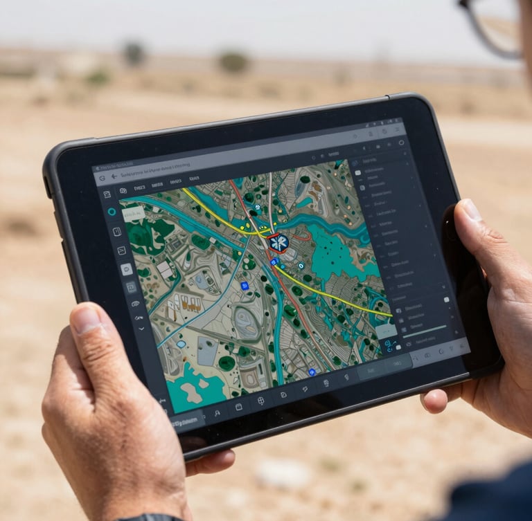
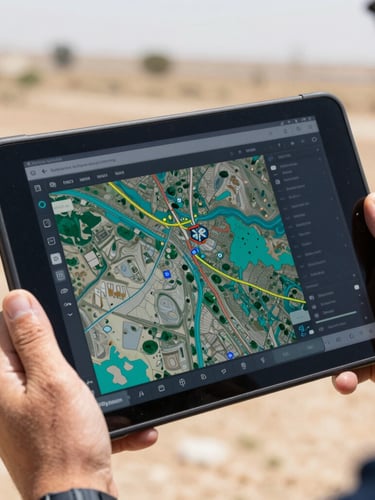
Precision geospatial infrastructure
We deliver localized spatial analytics and ground-truth data that empower regional government bodies and international NGOs. From soil moisture tracking to urban planning, our systems translate complex geographic information into actionable development strategies.
Our Erbil-based technical team provides end-to-end execution, ensuring software integration is paired with rigorous regional capacity building and hands-on training.
Data infrastructure for critical sectors
We deploy targeted technology where spatial accuracy directly impacts regional stability, food security, and infrastructure development.
Government & Cities
NGO & Development
Precision Agriculture
Smart city planning and municipal GIS databases to modernize urban infrastructure across Erbil and Duhok.
Ground-truth data mapping for international humanitarian organizations executing regional stabilization programs.
Satellite-driven soil moisture tracking and crop health analytics to secure regional food supplies.
Proven technical execution in Iraq
140+
GIS layers mapped
12
NGO partners
100%
Local ownership